🥾 Guided nature walk · Gieten
Drenthepad — Gieten to Borger
4 or more narrated stops · ~4.7 hours · 16.7 km
The Hondsrug in a single day: along the ridge that the ice left behind, looking out over the Hunze valley, across the drift sand of the Drouwenerzand, and past the hunebedden of Bronneger to finish at the largest megalithic tomb in the Netherlands. About 16.7 km on the ridge of the country's first UNESCO Global Geopark. Sold as self-guided narration and route notes; it is not a ticket, a guide, or land access.
IMPORTANT — Self-guided audio content — sold separately from land access
You are buying the narration, route notes and nature commentary for this walk. You are not buying access to the land. Public paths are free to walk, but some nature reserves charge entry, restrict access seasonally, or require permission — check the access notes for this trail and the site manager's own rules before you go.
The route
- Gieten — onto the Hondsrug
💡 The Hondsrug was shaped under the Saalian ice sheet roughly 150,000 years ago; its parallel ridges were combed out by a fast-moving ice stream. - The ridge edge above the Hunze valley
💡 The Hunze valley flanks the Hondsrug on its eastern side; the ridge-and-valley pair were shaped together in the Saalian glaciation. - Drouwenerzand — the sand that walked
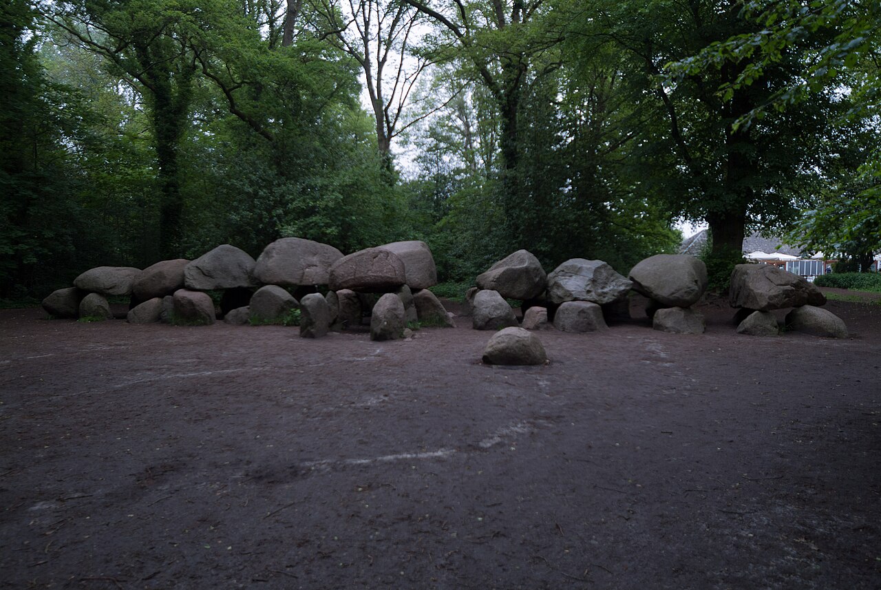
💡 The Drouwenerzand is a drift sand created by medieval sod-cutting and over-grazing; moving sand was once a real threat to Drenthe villages. - Borger — D27, the largest hunebed in the Netherlands
💡 Hunebed D27 is the largest in the Netherlands: 22.6 metres long, with nine capstones; its heaviest stone is estimated at about 20,000 kg.
Includes English & Dutch spoken narration, a live route map, walking and tram directions, and café suggestions that adapt to the weather.